Topographical Inconsistencies
Because canonically, the areas are much bigger than what we see, so it could be showing us different parts. Also, it started raining again.
Regnum Ascalon [RegA] ~~ Dragonbrand
The one area that totally does not seem to fit for me anyway is Brisban Wildlands. This was the Maguuma jungle around Aurora Glade. Although there are still some areas that seem jungle-like, the overall feel is not the Maguuma. There aren’t any giant vine bridges for example. And why are there no centaurs here? What happened to the giant aloe seeds? There were jungle trolls, thorn stalkers, and spiders everywhere. Now there are a lot of bandits, Nightmare Court, and Skritts. As far as I can tell this area would have been less affected by the dragons. Less rain is too simplistic to explain all the changes especially when it’s right next to the Caladon Forest which is quite lush.
(edited by Rosen Myst.7641)
It was said that the Maguuma jungle dried up for unknown reasons — that is why it is called the Maguuma wastes now. A volcano wouldn’t melt half a mountain range, so why shouldn’t less rain equal no jungle?
Regnum Ascalon [RegA] ~~ Dragonbrand
Other areas underwent changes but they still have the feel of how they were. I see no resemblance at all to the Maguuma area as it was. No plants, animals, topography .. nothing. Drying up wouldn’t change the topography. I can understand that there would have been changes, but to look completely different … I don’t know. I love all the other areas. Brisban Wildlands is the only area I really don’t like.
The volcano changed the southern part of the Shiverpeaks, not the whole mountain range. The whole maguuma is gone as it was that is.
(edited by Rosen Myst.7641)
In 250 years climate and weather patterns can change quite profoundly. For example, the spread of the sahara over what was previously lush forested savannah, the cutting down of forests in south america, the growth of forests in sweden.
250 years ago, the area I am from in Sweden had almost no forests left. Now it is covered in pine forests.
Just a slight shift in global temperatures could lead to a shift in rainfall that could be the nail in the coffin for the Maguuma jungles, I think that a lot of the Amazon jungle will be gone the same way in about the same time unless something is done.
Jamail Saoud [Nice], the man with the Drake
Dragons.
Vibor Bauman- Level 80 Engineer- Gandara
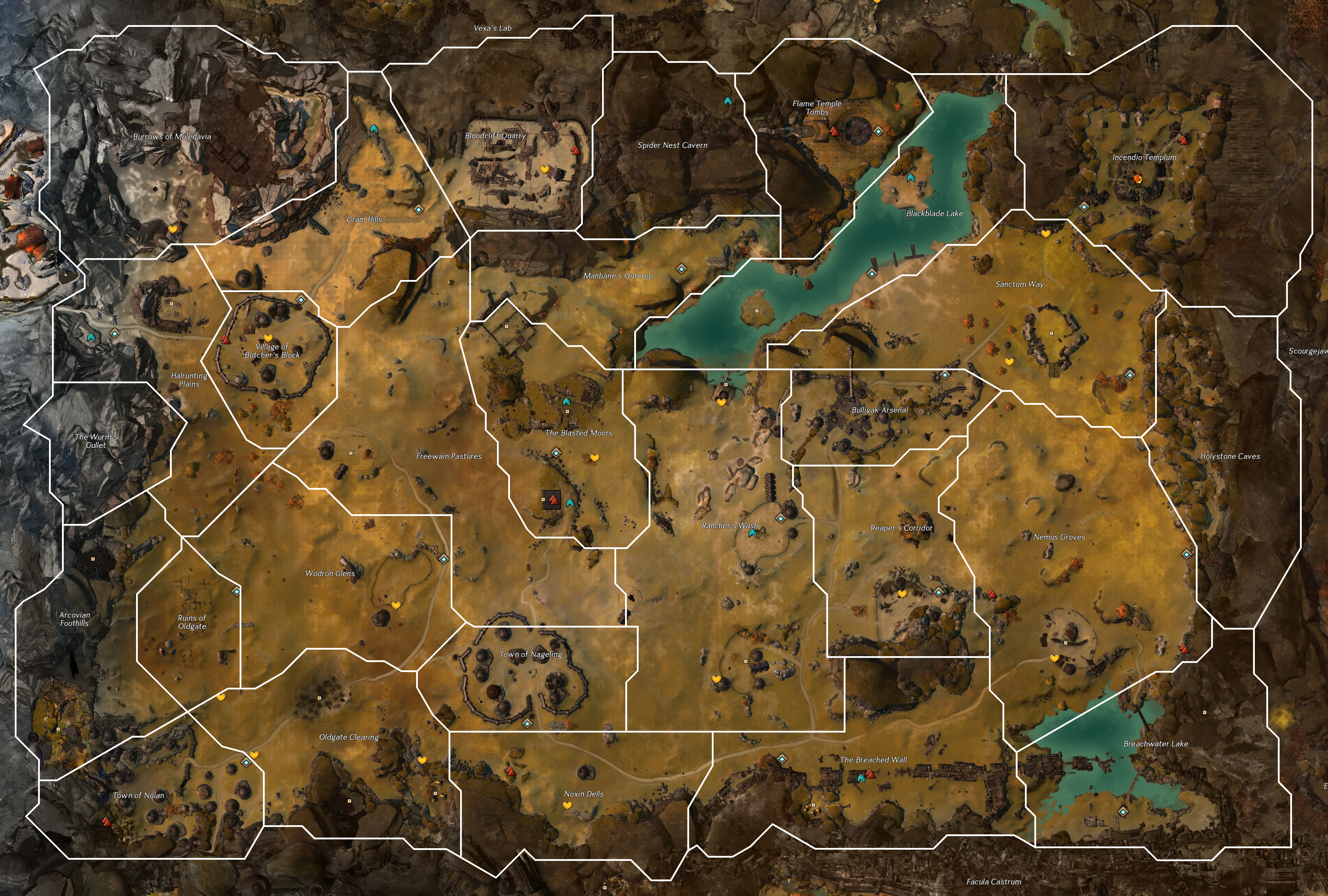
Indeed, it’s said that Primordus now resides underneath the Wastes, and he packs literal heat, so that might have to do with it.
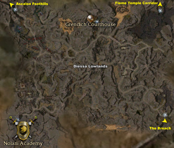
As for the Diessa question, that could probably be Kralkatorrik, somehow. Iunno, dragons be weird.
I’m with Excelliate on rainfall in Diessa. Diessa Plateau was incredibly arid, so arid that Stormcaller brought the first rain the Charr had experienced in the two years since they’d invaded. Let’s say some combination of using Stormcaller and defeating the Titans in GW1 “fixes” the rainfall in the area.
Do you know what happens when rain falls in an arid area completely free of plants? Erosion happens. All the dust that formed the dunes and hills is now mud filling up the canyons. And that could happen with only a few days of rain! Now add 250 years’ worth of normal rainfall combined with whatever climate change was caused by the rise of the dragons, and Diessa’s new topography doesn’t seem so unbelievable.
Yeah, except that what they were eroding? It wasn’t dirt hills… it was ROCKS. Lots and lots of ROCK. And if the rain hasn’t worn away the Great Northern Wall yet I don’t see how it could have worn away all the stone in the Diessa Lowlands (And conveniently created a solid wall of rock at about the mid level, which is between the Diessa Plateau and Plains of Ashford/Black Citadel).
I agree with Verteiron, also along with the climate change you have the Charr coming into the area, its not to far fetched to say they had a hand in shaping the area with the natural elements. They do have large siege vehicles and tanks that could easily be used for terraforming.